If you're looking for a simple way to achieve precise measurements for your site and render useful, accurate design drawings for your project, trust our expert drone operators.
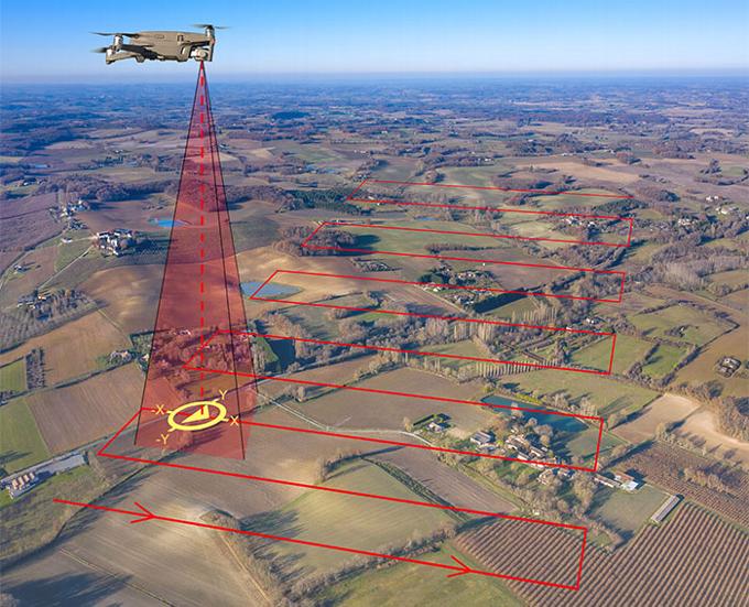
SBS provide high-quality drone photography in Manchester in packages that make measured surveying simple and affordable. Our expert administrative team, alongside our trained pilots use UAVs to give you a comprehensive overview of your site, mapping and measuring the area and the buildings within it. Through photogrammetry and LiDAR, we can capture surfaces in their entirety, resulting in accurate, detailed renderings of your site. These are frequently known as a “digital twin” and are hugely useful for the telecom, railway and infrastructure sectors, among many others.
Our Manchester-based measured drone survey services include:
2D Mapping
We can create detailed 2D maps of your site, with accurate measurements that ready your planning application.
3D Modelling
Our drone technology gives us the capability to create detailed 3D models of the project you have planned. These models can be imported into Building Information Models or CAD packages.


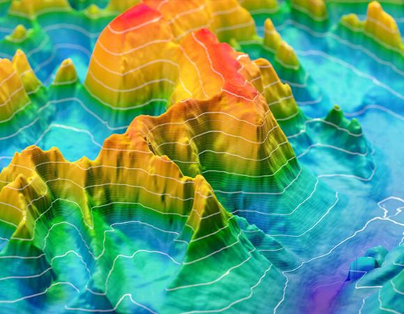
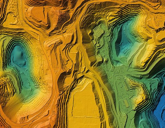
Digital Surface Models (DSM)
Using photogrammetry, we create 3D terrain models, with accurate surface elevation data.
SPEAK TO OUR EXPERTS TODAY
Contact us on 0161 470 4739, by email, at info@sbscic.com, or complete our contact form to arrange a call back.
